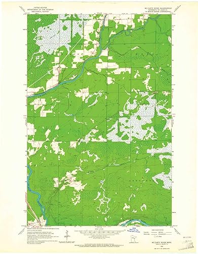
Mc Carty River MN topo map, 124000 Scale, 7.5 X 7.5 Minute, Historical, 1963, Updated 1977, 27.23 x 21.53 in
Categoría: Mapas Topográficos
Envío gratis
Precio y disponibilidad de Mc Carty River MN topo map, 124000 Scale, 7.5 X 7.5 Minute, Historical, 1963, Updated 1977, 27.23 x 21.53 in
₡72 609,3
₡80 677
Stock disponible
Entrega estimada de 8 a 14 dias habiles en Costa Rica.