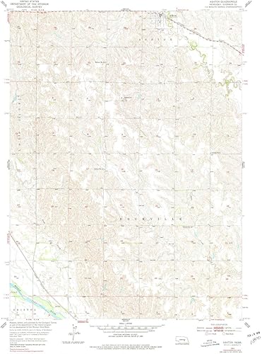
Ashton NE topo map, 124000 Scale, 7.5 X 7.5 Minute, Historical, 1953, Updated 1978, 26.9 x 22 in
Categoría: Mapas Topográficos
Envío gratis
Precio y disponibilidad de Ashton NE topo map, 124000 Scale, 7.5 X 7.5 Minute, Historical, 1953, Updated 1978, 26.9 x 22 in
₡59 877
Stock disponible
Tiempo de entrega estimada Viernes 20 de febrero al Lunes 23 de febrero.